Monday, April 30, 2018

Ha Giang Vietnam travel guide

Ha Giang is located top-north of Vietnam. The area of Ha Giang Province is characterized by fabled limestone highlands with karst formations and colorful untouched ethnic minorities. Ha Giang is much shrouded in legend and is not touched by tourism.
Ha Giang is bordered to the north by China; to the south by Tuyen Quang and Yen Bai Provinces; to the east by Cao Bang and to the west by Lao Cai Province. Ha Giang has a temperate climate and it's almost cool all year round in Dong Van Rocky Plateau.
Ha Giang Vietnam
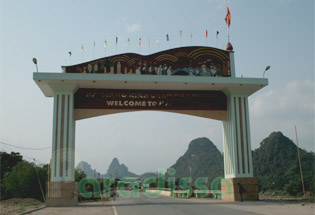
The gate to Ha Giang Province
Ha Giang is inhabited by 22 ethnic groups, many of whom maintain a very traditional culture and many live an isolated life from the mainstream society.

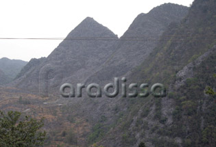
Dong Van Rock Plateau Ha Giang Vietnam
 

Sunday, April 29, 2018

Ta Chi Nhu Mountain (Phu Song Sung) - Yen Bai

The Ta Chi Nhu Mountain (aka Mount Phu Song Sung) in Tram Tau District of Yen Bai Province, which is 2,979m above sea level, is the 6th highest mountain peak in Vietnam.
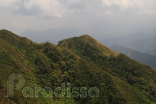
Breathtaking mounain peaks on the way to the summit of Ta Chi Nhu

 The best time to climb Ta Chi Nhu is from November to early April. If you want to take photos of an ocean of clouds at the mountain peak, then you may want to take the trip from November through the first half of March. It is freezing cold from late November through early February.

Trekking Tour Ta Chi Nhu (Phu Song Sung) – 3 Days

Trekking Ta Chi Nhu (or Phu Song Sung, 2,979m) is an extremely hard mountain climbing tour for 3 days, 2 nights. The mountain, which is the 6th highest mountain peak in Vietnam, is in Tram Tau District of Yen Bai Province, 240km North-West of Hanoi. The best time to do the trip is from December through March.

Splendid view from point where the trek starts